
File:18 Wadi Ghuweir Trail to Feynan - In the Oasis - panoramio.jpg
Size of this preview: 800 × 600 pixels. Other resolutions: 320 × 240 pixels | 640 × 480 pixels | 1,024 × 768 pixels | 1,280 × 960 pixels | 2,048 × 1,536 pixels.
Original file (2,048 × 1,536 pixels, file size: 610 KB, MIME type: image/jpeg)
| This is a file from the Wikimedia Commons. Information from its description page there is shown below. Commons is a freely licensed media file repository. You can help. |
Summary
| Description |
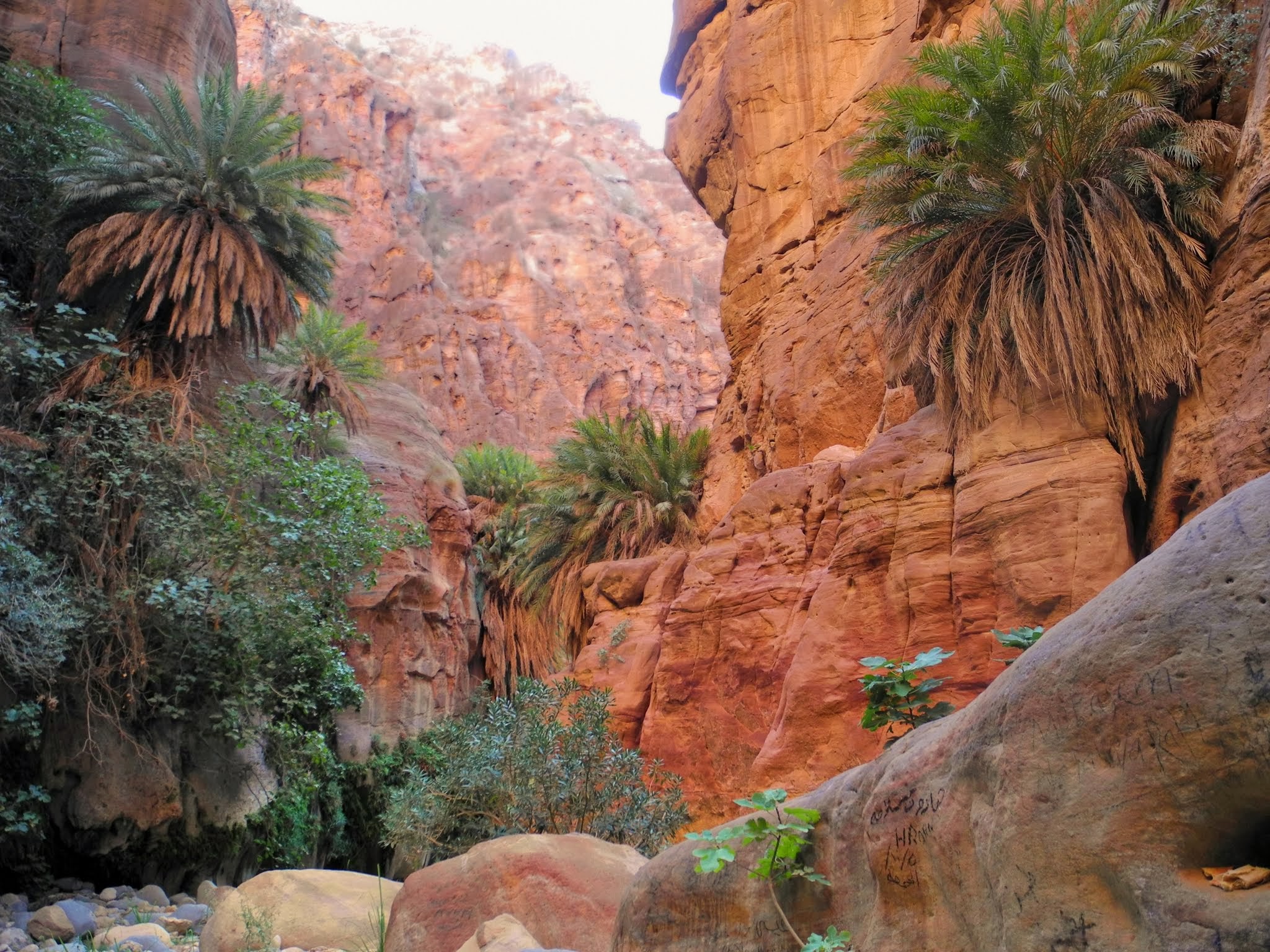
English: Wadi Ghuweir Trail to Feynan - In the Oasis |
||
| Date | 11 November 2013 (original upload date) | ||
| Source | https://web.archive.org/web/20161028000819/http://www.panoramio.com/photo/99135679 | ||
| Author | hikinginjordan | ||
| Permission (Reusing this file) |
This file is licensed under the Creative Commons Attribution-Share Alike 3.0 Unported license. Attribution: hikinginjordan
|
||
| Tags (from Panoramio photo page) | Bedouin, best, Camp, climbing, Dana, Dana Reserve, Dana Village, Feynan, Feynan Eco Lodge, Flash flood, Ghuweir, gps, Guide, hanging rock, hiking, Hiking in Jordan, Incredible, Jordan, mountain, Nature, Oasis, outdoor, Palm trees, Reserve, rock, Royal Society for Nature Reservation, RSCN, Siq, tourism, trail, wadi, Wadi Ghuweir, Wadi Ghuweir to Feynan Trail, Walking in Jordan |
| Camera location | | View this and other nearby images on: OpenStreetMap |
|---|
File history
Click on a date/time to view the file as it appeared at that time.
| Date/Time | Thumbnail | Dimensions | User | Comment | |
|---|---|---|---|---|---|
| current | 07:52, 1 April 2017 | | 2,048 × 1,536 (610 KB) | Panoramio upload bot | == {{int:filedesc}} == {{Information |description=18 Wadi Ghuweir Trail to Feynan - In the Oasis |date={{Original upload date|2013-11-11}} |source=http://www.panoramio.com/photo/99135679 |author=[http://www.panoramio.com/user/7789518?with_photo_id=9913... |
File usage
The following pages on the English Wikipedia use this file (pages on other projects are not listed):
Global file usage
The following other wikis use this file:
- Usage on af.wikipedia.org