
File:PikiWiki Israel 27944 Geography of Israel.jpg

Size of this preview: 800 × 532 pixels. Other resolutions: 320 × 213 pixels | 640 × 426 pixels | 1,024 × 681 pixels | 1,280 × 851 pixels | 1,600 × 1,064 pixels.
Original file (1,600 × 1,064 pixels, file size: 486 KB, MIME type: image/jpeg)
| This is a file from the Wikimedia Commons. Information from its description page there is shown below. Commons is a freely licensed media file repository. You can help. |
| Description |
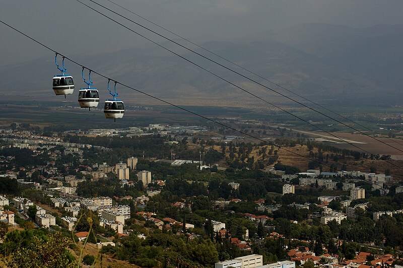
English: Geography of Israel עברית: הרכבל מקריית שמונה לצוק מנרה, Original Image Name:רכבל צוק מנרה |
| Date | |
| Source | Oren Peles via the PikiWiki - Israel free image collection project |
| Author | Oren Peles |
| Permission (Reusing this file) |
This file is licensed under the Creative Commons Attribution 2.5 Generic license. Attribution: Oren Peles Pikiwiki Israel
|
| Camera location | | View this and other nearby images on: OpenStreetMap |
|---|

|
This file has been submitted through the Israeli Pikiwiki project and uploaded here automatically.
The project is cooperation between the Israel Internet Association and Wikimedia Israel in an effort to promote the concept of free content on the Web, by creating an image collection of digital-format, good quality photographs, documenting events relating to the history of Israel, or depicting places of distinction in Israel and the Middle East. The Pikiwiki Project is managed from 2021 by the "Heritage Stones" group.
Please consider notifying the project before renaming or deleting this file. Further information about the project can be found on the commons-l mailing list.
|
File history
Click on a date/time to view the file as it appeared at that time.
| Date/Time | Thumbnail | Dimensions | User | Comment | |
|---|---|---|---|---|---|
| current | 13:01, 24 October 2012 | | 1,600 × 1,064 (486 KB) | Pikiwikisrael | {{Information |Description={{en|Geography of Israel}} {{he|הרכבל מקריית שמונה לצוק מנרה, Original Image Name:רכבל צוק מנרה}} |Source=Oren Peles via the [http://www.pikiwiki.org.il?action=gallery&img_id=27944 PikiWiki... |
File usage
The following pages on the English Wikipedia use this file (pages on other projects are not listed):
Global file usage
The following other wikis use this file:
- Usage on en.wikivoyage.org
- Usage on fa.wikipedia.org
- Usage on pl.wikipedia.org