
File:Saudi Arabia relief location map.jpg
Size of this preview: 720 × 600 pixels. Other resolutions: 288 × 240 pixels | 577 × 480 pixels | 922 × 768 pixels | 1,230 × 1,024 pixels | 2,003 × 1,668 pixels.
Original file (2,003 × 1,668 pixels, file size: 1.67 MB, MIME type: image/jpeg)
| This is a file from the Wikimedia Commons. Information from its description page there is shown below. Commons is a freely licensed media file repository. You can help. |
| Description |
العربية: خريطة مواقع السعودية.
إسقاط متساوي المستطيلات (الإسقاط الجغرافي)، شمال / جنوب امتداد 110٪. الحدود الجغرافية للخريطة:
Deutsch: Physische Positionskarte von Saudi-Arabien
Quadratische Plattkarte, N-S-Streckung 110 %. Geographische Begrenzung der Karte:
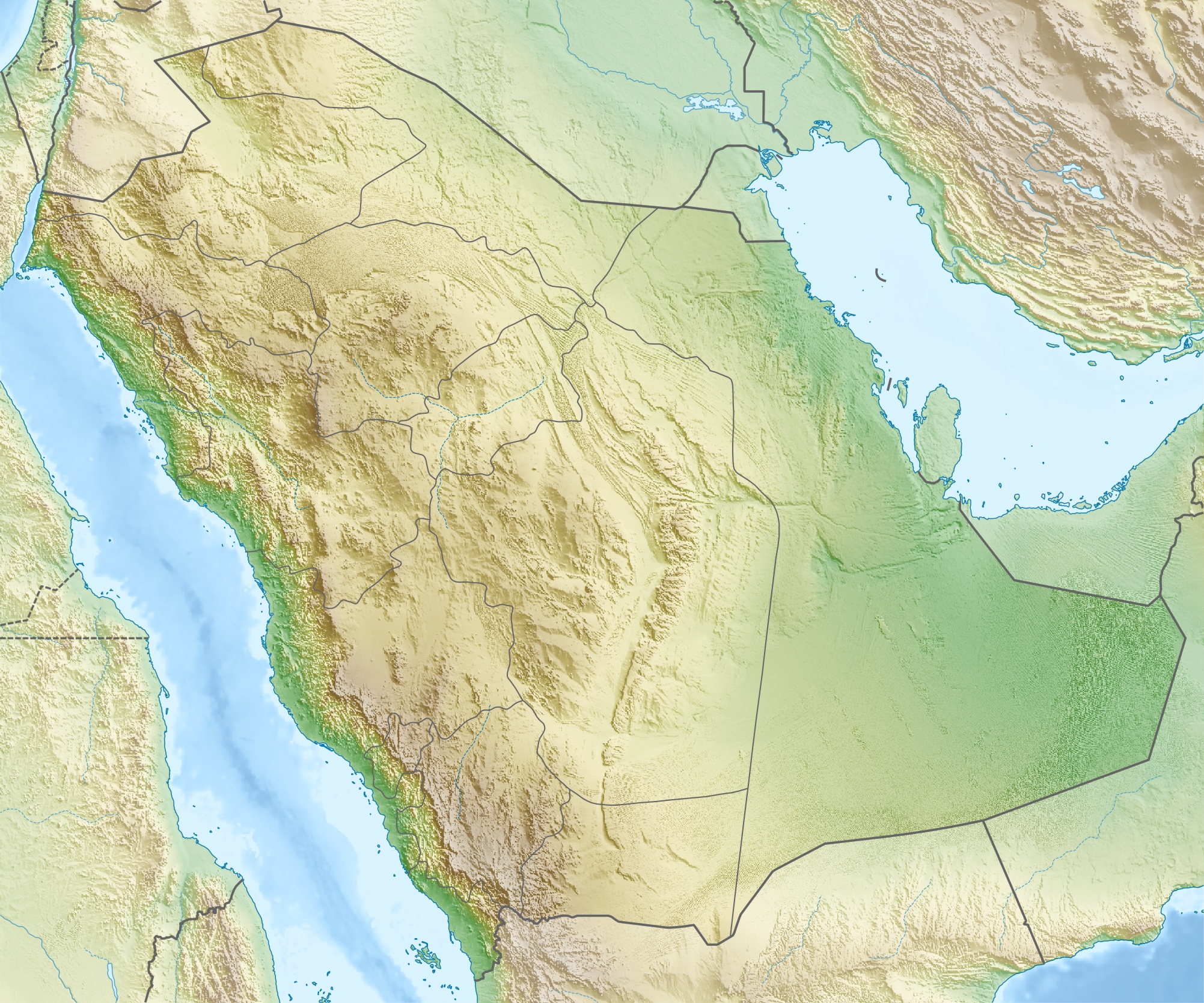
English: Physical location map of Saudi Arabia
Equirectangular projection, N/S stretching 110 %. Geographic limits of the map:
|
| Date | |
| Source | Own work, using map data from administrative map by NordNordWest. The relief was created from SRTM-30 relief data. |
| Author | Carport |
| Permission (Reusing this file) |
This file is licensed under the Creative Commons Attribution-Share Alike 3.0 Unported license.
|
| Other versions |
|
.jpg)


File history
Click on a date/time to view the file as it appeared at that time.
| Date/Time | Thumbnail | Dimensions | User | Comment | |
|---|---|---|---|---|---|
| current | 17:28, 16 May 2010 | | 2,003 × 1,668 (1.67 MB) | Carport | {{Information |Description={{de|Physische Positionskarte von {{w|Saudi-Arabien|3=de}}}} Quadratische Plattkarte, N-S-Streckung 110 %. Geographische Begrenzung der Karte: * N: 32.5° N * S: 16.0° N * W: 34.2° O * O: 56.0° O {{en|Physical location map of |
File usage
More than 100 pages use this file. The following list shows the first 100 pages that use this file only. A full list is available.
- 'Uruq Bani Ma'arid
- Abha International Airport
- Abqaiq oil field
- Abu Qubays (mountain)
- Al-Abwa'
- Al-Ahsa International Airport
- Al-Ahsa Oasis
- Al-Baha Domestic Airport
- Al-Magar
- Al-Manifa
- Al-Namas
- Al-Wadiah War
- Al Bahah
- Al Jouf Airport
- Al Khayf
- Al Qaisumah/Hafr Al Batin Airport
- Al Wajh Domestic Airport
- Anbariya Mosque
- Arar Domestic Airport
- Asir Mountains
- Battle of Badr
- Battle of Fakhkh
- Battle of Khaybar
- Battle of Uhud
- Battle of al-Harra
- Battle of the Trench
- Bay'ah Mosque
- Baysh Dam
- Bisha Domestic Airport
- Conquest of Mecca
- Dawadmi
- Dawadmi Domestic Airport
- Dumat al-Jandal
- Farasan Island
- Farasan Islands
- Ghawar Field
- Green Dome
- Gurayat Domestic Airport
- Ha'il Regional Airport
- Hali Dam
- Harrat Khaybar
- Hijaz Mountains
- Imam Turki bin Abdullah Mosque
- Jabal Atherb
- Jabal Natfa'
- Jabal Soudah
- Jabal Thawr
- Jabal Umm Hayfā'
- Jabal al-Lawz
- Jabal al-Nour
- Jabal an Nukhaylah
- Jabal ʽUmayyid
- Jawatha Mosque
- Jeddah
- Jizan Dam
- Jizan Regional Airport
- Kaaba
- Khurais oil field
- Khuzam Palace
- King Abdulaziz Air Base
- King Abdulaziz Historical Center
- King Fahad Dam
- King Khaled Military City Airport
- King Khalid International Airport
- King Saud Mosque
- Layla (town)
- Masjid Al-Taneem
- Masjid al-Haram
- Masjid al-Qiblatayn
- Medina
- Midian
- Mina, Saudi Arabia
- Mosque of As-Saqiya
- Mosque of Atban Bin Malik
- Mosque of Bani Haram
- Mount Arafat
- Mount Uhud
- Murwani Dam
- Muzdalifah
- Najran Valley Dam
- Nakhla (Saudi Arabia)
- Prophet's Mosque
- Qatif and Dammam mosque bombings
- Rabigh Dam
- Rafha Domestic Airport
- Riyadh
- Rock Art in the Ha'il Region
- Safa and Marwa
- Sarawat Mountains
- Sharurah Domestic Airport
- Shaybah oil field
- Siege of Mecca (683)
- Simon Cumbers
- Sitae Alhven Dam
- Taif
- Tayma
- Turaif Domestic Airport
- Umm Al Melh Border Guards Airport
- Uyayna
- Wadi al-Dawasir Domestic Airport
View more links to this file.
Global file usage
The following other wikis use this file:
- Usage on ace.wikipedia.org
- Usage on als.wikipedia.org
- Usage on ar.wikipedia.org
- جرول
- معمل غاز حرض
- متنزه الأحساء الوطني
- سد وادي جازان
- سد وادي بيش
- الحرب العثمانية السعودية
- مستخدم:عبد المؤمن/مسودات/خرائط/السعودية
- محطة الشعيبة لتحلية المياه المالحة وتوليد الطاقة الكهربائية
- محطة رأس الخير لتحلية المياه وإنتاج الطاقة
- منفذ جديدة عرعر (السعودية)
- متنزه الغاط الوطني (السعودية)
- عين حنين
- انفجار الناقلة الإيرانية سبتي 2019
- كأس خادم الحرمين الشريفين 2023–24
- Usage on ast.wikipedia.org
- Usage on av.wikipedia.org
- Usage on azb.wikipedia.org
- Usage on az.wikipedia.org
- Usage on ba.wikipedia.org
View more global usage of this file.