
Khalet al-Maiyya
Khalet al-Maiyya | |
|---|---|
| Arabic transcription(s) | |
| • Arabic | خلة المية |
 Khalet al-Maiyya Location of Khalet al-Maiyya and in arabic= خلة المية within Palestine | |
| Coordinates: 31°26′45″N 35°08′36″E / 31.44583°N 35.14333°E | |
| State | State of Palestine |
| Governorate | Hebron |
| Government | |
| • Type | Village council |
| Population (2017)[1] | |
| • Total | 2,149 |
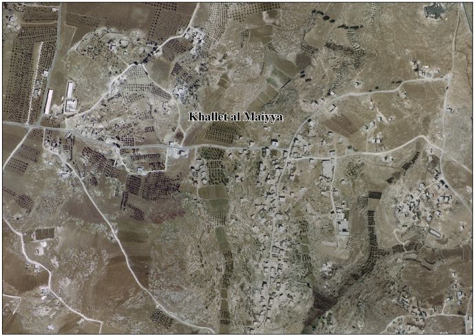
Khalet al-Maiyya خلة المية is a Palestinian village located nine kilometers south of Hebron and four kilometers west of Yatta. The village is in the Hebron Governorate Southern West Bank. According to the Palestinian Central Bureau of Statistics, the village had a population of 2,149 in 2017.[1] The primary health care facilities for the village is designated by the Ministry of Health as level 2.[2]
Footnotes[edit]
- ^ a b Preliminary Results of the Population, Housing and Establishments Census, 2017 (PDF). Palestinian Central Bureau of Statistics (PCBS) (Report). State of Palestine. February 2018. pp. 64–82. Retrieved 2023-10-24.
- ^ West Bank Health care Archived 2006-03-13 at the Library of Congress Web Archives
External links[edit]
- Kallet Al Maiyya Village (Fact Sheet), Applied Research Institute–Jerusalem, ARIJ
- Kallet Al Maiyya Village Profile, ARIJ
- Kallet Al Maiyya Village Area Photo, ARIJ
- The priorities and needs for development in Khallet al Maiyya village based on the community and local authorities’ assessment, ARIJ

This geography of the State of Palestine article is a stub. You can help Wikipedia by expanding it. |