
Marah Rabah
Marah Rabah | |
|---|---|
| Arabic transcription(s) | |
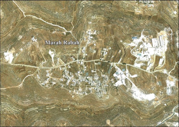
 Marah Rabah Location of Marah Rabah within Palestine | |
| Coordinates: 31°38′06″N 35°11′19″E / 31.63500°N 35.18861°E | |
| State | State of Palestine |
| Governorate | Bethlehem |
| Government | |
| • Type | Municipality |
| Population (2017)[1] | |
| • Total | 1,729 |
Marah Rabah is a Palestinian village located twelve kilometers south of Bethlehem. The village is in the Bethlehem Governorate central West Bank. According to the Palestinian Central Bureau of Statistics, the town had a population of over 1,729 in 2017.[1] The primary healthcare is obtained in Tuqu', where the Ministry of Health denotes the healthcare facilities as level 2.[2]
History[edit]
British Mandate era[edit]
In the 1931 census the population of Marah Rabah was counted together with Beit Fajjar, Marah Ma'alla and Umm Salamuna. The total population was 1,043, all Muslims, living in 258 houses.[3]
Jordanian era[edit]
In the wake of the 1948 Arab–Israeli War, and after the 1949 Armistice Agreements, Marah Rabah came under Jordanian rule. In 1961, the population of Murah Rabah was 198.[4]
Post 1967[edit]
Since the Six-Day War in 1967, Marah Rabah has been held under Israeli occupation.
Footnotes[edit]
- ^ a b Preliminary Results of the Population, Housing and Establishments Census, 2017 (PDF). Palestinian Central Bureau of Statistics (PCBS) (Report). State of Palestine. February 2018. pp. 64–82. Retrieved 2023-10-24.
- ^ West Bank Healthcare facilities Archived 2006-03-13 at the Library of Congress Web Archives
- ^ Mills, 1932, p. 35
- ^ Government of Jordan, Department of Statistics, 1964, p. 23
Bibliography[edit]
- Government of Jordan, Department of Statistics (1964). First Census of Population and Housing. Volume I: Final Tables; General Characteristics of the Population (PDF).
- Mills, E., ed. (1932). Census of Palestine 1931. Population of Villages, Towns and Administrative Areas. Jerusalem: Government of Palestine.
External links[edit]
- Marah Rabah village (fact sheet), Applied Research Institute–Jerusalem, ARIJ
- Marah Rabah village profile, ARIJ(See talk: maps are wrong)
- Marah Rabah aerial photo, ARIJ
- The priorities and needs for development in Marah Rabah village based on the community and local authorities' assessment, ARIJ
| Cities |  | |
|---|---|---|
| Municipalities | ||
| Villages |
| |
| Religion | ||
| Refugee camps | ||
| Other | ||
| Authority control databases: National |
|---|
This geography of the State of Palestine article is a stub. You can help Wikipedia by expanding it. |